For simply one of the best day hikes in our Golden State, consider tackling Sequoia National Park’s Lake Trail. Often done as an overnight backpack and very popular on some summer weekends, the spectacular climb is deservedly a famed route and has the foot traffic to show for it. But the views are so epically sprawling and the lakes so soul-soothingly pristine that even big crowds are dwarfed in the majestic expanse of one of the West Sierra’s best escapes.
The hike is a relatively moderate one by some Sierra standards and is doable as a day hike, but it’s a bit of a huff if you do the whole thing. You likely should not attempt it if you are not in at least decent hiking shape — the altitude gain, rising 2,000 feet to almost above the tree line, will be felt all the more given the elevation, not to mention the eight-ten miles of round-trip traveling. Pace yourself and bring plenty of water, or a filter if you have one.
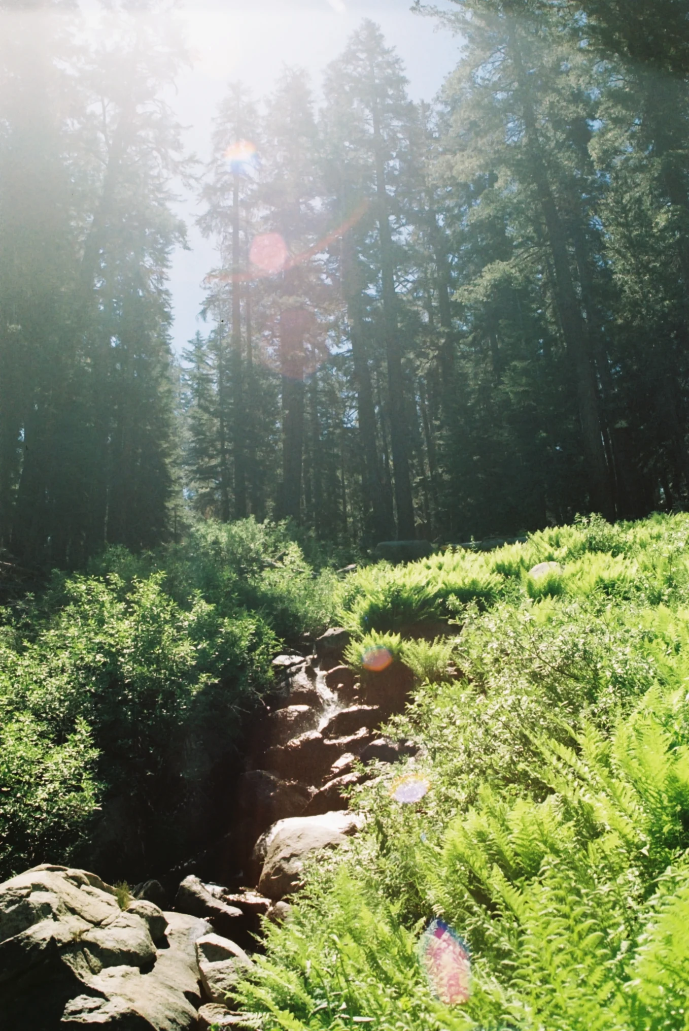
The trailhead begins at 7,280 feet, off Wolverton Road. The first mile moves gently through a green world of dense pine forests and, if you’re lucky, blooms of leopard lily, stands of monkey flower, and carpets of mustang clover will add colorful flair to the forest splendor. Sunlight is reduced to mere beams in parts of this stretch, and it splays out into meadow-wide expanses in others. Through the trees you are afforded glimpses of dramatically glaciated Tokopah Valley, over which you soon will look.
At 1.8 miles from the trailhead, you come to a junction; stay left, as going right would lead you to the Alta Peak and Mehrten Meadow trail. From here, the trail begins to climb noticeably, but it does not stop being lovely, with abundant worlds of fern and surprising streams and little waterfalls occasionally tumbling across your path. At mile 2.1, you come to another junction, offering you the choice between the Watchtower Trail or the Hump Trail. By all accounts, the former is more scenic and easier on the legs, and the latter steeper, shadier, and somehow more upsetting. Some sign scrawlings on a recent hike showed an arrow pointing left to “brains” for those taking the Watchtower, and to the right, “fuckn steep” for The Hump. For the purposes of this trip, we will use our brains and not go so steeply.
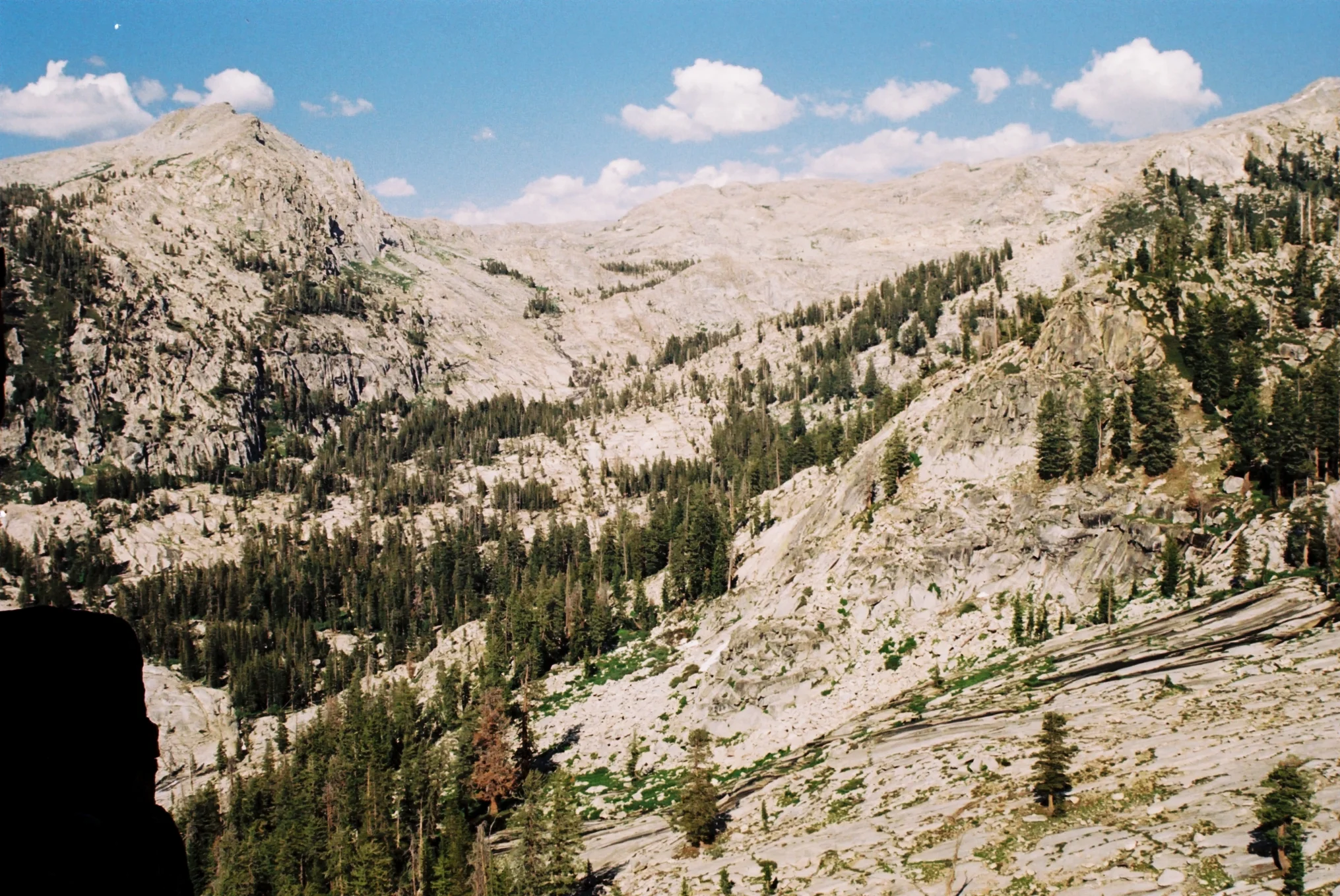
Continue on for about another mile, and here the trail really becomes something awe-inspiring. At mile 3.3, after two switchbacks, you mount the Watchtower overlook, and all the massive beauty of Tokopah Valley unfolds before you. With a view to rival similar valley overlooks in Yosemite, you can see in one vista the coursing white jet of the Marble Fork Kaweah River and its thundering falls, huge meadows sloping down the domes above, and the grand crest of the Kings-Kaweah Divide. Smooth white-gray granite graces the entire vista. Those with easily-induced vertigo or a fear of heights may not like this or the remainder of trail, as for the next leg you will walk on an exposed and unprotected path with sheer, 2,000-foot slopes to your side. The Watchtower is a great stopping point if the first climb was too taxing, so soak in the views before turning around — but the remaining stretch is relatively level.
Level — and heavenly. From here, you are soaring above the valley, enroute to a string of lakes, with clusters of pink pussy paws accompany you on your promenade. The first, Heather Lake, at 4.1 miles, is a beautifully calm and placid place, with a wide wall of granite framing its grassy and smoothly bouldered shores. The water is a deep jade color, and red firs rim its round perimeter. Heather Lake makes for an ideal lunch spot, and an equally ideal place to linger for hours, being a calm and lesser-visited lake compared to the camping destination lakes further up. No camping is allowed here.
Continue on into the divine higher realms of the final mile, where streams tumble down into the glacial canyon, and deer picturesquely munch on flowers on your rocky route. Mighty, snow-capped Alta Peak towers above all at 11,204 feet, reminding you of your tiny size and short life span in the scope of geologic time. There is a very modest amount of elevation gain from Heather to Aster and Emerald Lakes, which you will subsequently lose and regain on the way back — Emerald Lake, though higher up on the trail, is technically 50 feet lower in elevation than the trail’s first lake.
As you descend to Emerald Lake, you have the option to visit nearby Aster Lake, which is prettily poised in its own cirque near the edge of a sheer drop-off. For now, choose to stay right, where you will pass a conspicuously out of place but nonetheless happily convenient NPS toilet at mile 5.1, and step toward Emerald Lake. Hidden by trees and dipped beneath granite cliffs, the lake itself is never quite visible until its shore, so don’t be mistaken into thinking the milky-blue-gray pond sitting just before it is the lake, as some visitors have done.
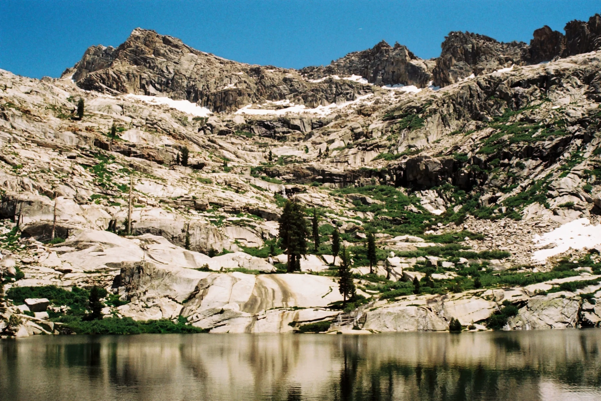
Pass by or settle at one of the nearby eight campsites until you make your way to the shore, guarded by granite slabs. Under gigantic, cathedral-like towers of jagged rock and a serene waterfall spilling down from higher lakes, you finally see Emerald Lake, one of the grand beauties of the Sierra. It is an understandably popular destination, so pure solitude may not be yours here, but shielded within such a dramatic bowl of rocky spires and snow, the lake nonetheless imparts the solitude of being a small, happy speck on the shore.
When you are ready to leave, turn around, or continue another mile, as many do, to Pear Lake, considered by many the most beautiful of the main lakes on the trail; or even hike further up, to legendary Moose Lake, the grandest and least often-seen. No matter whether you stop at the Watchtower or any of the lakes, you will be treated to some of the best and most easily-accessed lakes of the West Sierra. One forewarning: after beauty this grand, it’s difficult to return.


